Waypoints
Waypoints are fixed locations on the map, typically used in competitions or for marking important points during a flight.
Adding a Waypoint
There are several ways to add waypoints:
- Long-press on the map at the desired location
- ☰ Menu → Waypoints → add manually with coordinates
- Import from a GPX file (see below)
Waypoint List
Access all waypoints via ☰ Menu → Waypoints. From the list you can:
- Edit a waypoint (name, position)
- Delete individual waypoints
- Delete all waypoints
- Set a waypoint as the reference point
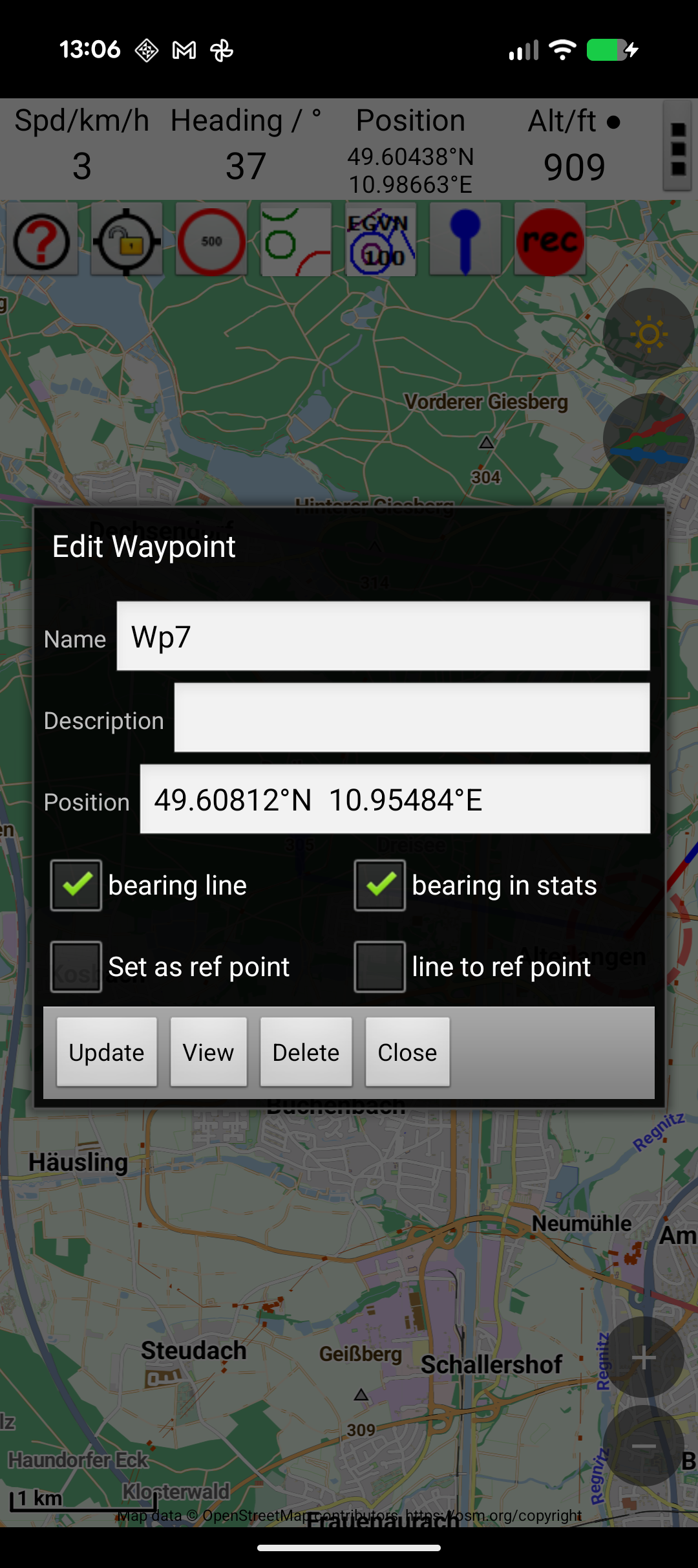
Reference Point
Setting a waypoint as the reference point enables bearing and distance display in the status bar. A bearing line can also be drawn on the map from your position to the reference point.
To set a reference point, long-press a waypoint in the waypoint list.
Bearing Between Waypoints
To see the distance and bearing between two waypoints:
- Set one waypoint as the reference point
- Enable the bearing line to another waypoint
This is useful in competitions for calculating distances between targets.
Import & Export
Import (GPX)
JBalloonNav can import waypoints from GPX files:
- Tap ☰ Menu → Waypoints
- Select the import option
- Browse to and select the GPX file
Export (GPX)
Export all waypoints to a GPX file for sharing or backup:
- Tap ☰ Menu → Waypoints
- Select the export option
- Choose a save location
Tank Change Waypoints
For hot air balloon pilots: you can add a special waypoint to mark a tank change position during flight.
Display

Toggle waypoint visibility and labels using the waypoint button in the button bar. Cycles through: waypoints with text → waypoints without text → waypoints hidden.